
Burbach between the Waldeifel, Islek and historic crosses
Accommodation in Burbach
Burbach lies on the northern edge of the Kyllburger Waldeifel, on the border with the Islek. The landscape and historic waymarkers shape the village in different ways: a protected area lies to the northeast, while the church, wayside shrines and crosses tell of different periods of construction and origin. If you are looking for accommodation, you can consider whether nature experiences or cultural and historical traces should play a greater role in your stay.
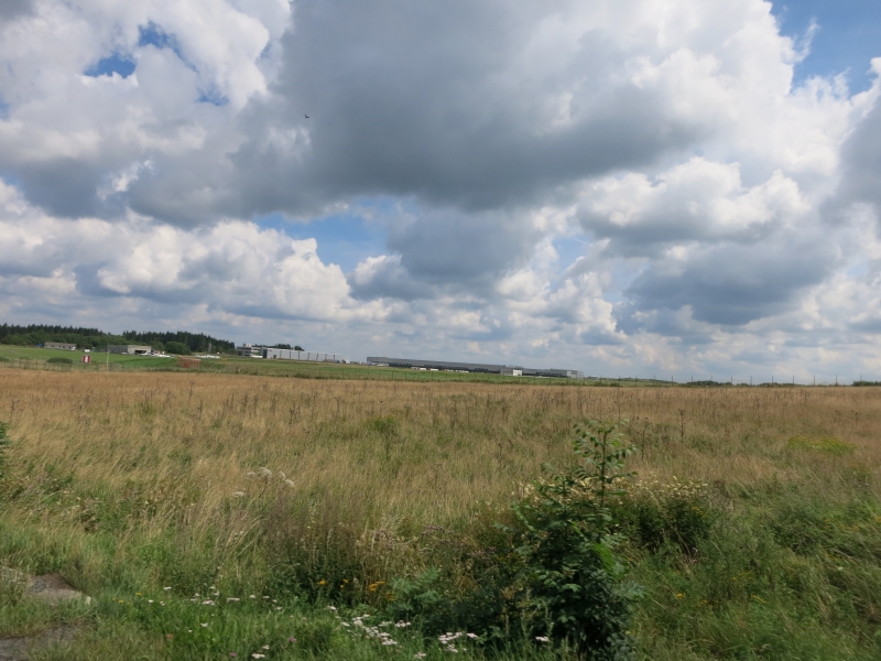
Landscape and activities
Truffvenn, a 6.4-hectare protected area designated in 1986, lies northeast of Burbach. Walks follow well-maintained paths through the surrounding countryside. Other local activities include fishing and a visit to the Lietzenhof golf course. These options offer different focuses: you can spend time outdoors or combine your stay with an activity centred on a particular place. Information about Truffvenn and the paths can help you consider the landscape and physical activity as part of your trip planning.
Church and historic buildings
The parish church of St. Margaret dates back to a chapel built in 1756 and was substantially enlarged in 1950. A wayside shrine dating from 1812 stands in the churchyard; another, from 1718, is located near Hillstraße 17. The dates show that the heritage around the church is not limited to a single period of construction.
Rural architecture is also represented by specific building types and dates. At Heldstraße 6 stands a single-storey Unterstallhaus with a field kitchen, dated 1824. The Flurküchenhaus at Talstraße 3 dates from 1778 and has an extension from the early 20th century. Comparing the two, the difference between the Flurküchenhaus’s construction date and its later extension stands out; the field kitchen and single-storey design are part of the described form of the Unterstallhaus.
Wayside shrines and crosses along old roads
Several crosses can be distinguished by their dates and locations. A niche cross dating from 1658 stands on the road from Burbach to Balesfeld, near the municipal boundary. A niche cross from 1605 is located at a junction with the former route from Burbach to Balesfeld. Both are therefore associated with the road to Balesfeld, but stand at different places as described.
A niche cross from 1727 stands on the old ridge road to Seffern, northeast of Burbach. A beam cross dating from 1790 is located about 500 metres south of the other crosses on this old ridge road. West of Burbach, a shaft cross from 1822 stands at the junction of the roads from Neustraßburg to Nimshuscheid and from Burbach to Wawern. The locations and their connections to the roads give each of these crosses its own point of reference.
The Köhlerkreuz, a small late Baroque beam cross dating from 1776, is located in the Kyllwald forest. It stands on the pilgrimage route between Neuheilenbach and Weißenseifen and is associated with the pilgrimage path from the northern Eifel to Trier Abbey of St. Matthias. Near a hunting lodge, it is about ten metres from the path. The description of the cross thus connects its specific location with its link to the pilgrimage route.
Traces in the name
The village name also points to both a historical and a local interpretation: Burbach was mentioned in 1570 under the name “Boirbach”. The local interpretation of the name is “the house by the stream”. Along with the dated buildings and wayside crosses, this name offers another way to explore the village’s history, without assigning its different historical traces to a single period.
Discover more destinations
Also discover Seiwerath, Krautscheid, Geichlingen, Wallersheim, Röhl, Arzfeld, Wallendorf and Zendscheid.
For the broader travel overview: Eifelkreis Bitburg-Prüm.
